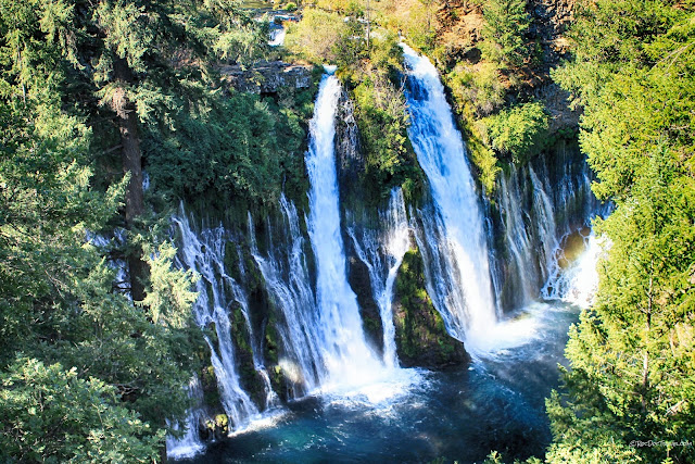
Watkins Glen State Park, New York

Watkins Glen State Park, New York Google Earth view looking upstream, eastward, from Watkins Glen. Geology of Watkins Glen State Park Surficial geologic map of the Watkins Glen area. Glen Creek cuts across glacial gravels and down through the ancient bedrock. Glacial deposits are orange, light pink, purple, and brownish orange, and are made of gravel. The red pattern is the bedrock seen in the canyon. The olive color around Seneca Lake is river deposits. During the last ice age, this area was covered by the continental ice sheet flowing southeastward out of Canada. Where the ice was able to carry sediments and loose bedrock away, it carved out the 11 Finger Lakes. Contrary to popular thought, glaciers are not like "bulldozers" -- they are not dense enough to push large amounts of sediment and rock. Instead, they are very effective conveyor belts that drag material along their bot...


