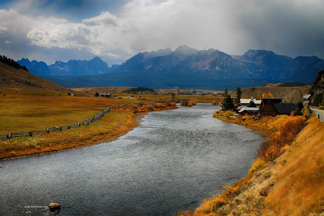
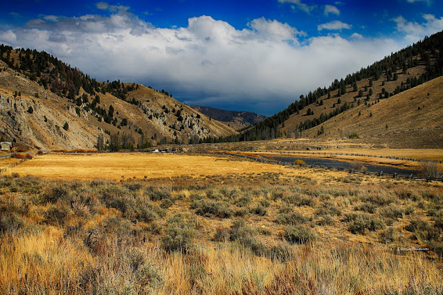
Upper Salmon River, Idaho: Autumn
Upper Salmon River, Idaho: Autumn
See America's longest undammed river in its Autumnal splendor!Why Travel to the Salmon River?
Besides being one of the most scenic and intriguing rivers in America, the Salmon River is quite unusual geologically and geographically. Just look at the map - it starts out flowing north, then turns east, northeast, and north before finally turning west. But there's more - it crosses mountain ranges, which rivers just shouldn't do. It starts by the phenomenally gorgeous Sawtooth Mountains where it is fed clear, cold water from glacially carved valleys and lakes. It cuts across mountains made of hard Precambrian and Paleozoic rocks that were mineralized by hot volcanic waters. It cuts across one of America's most massive volcanic fields near Challis before swinging north and west to cut a deep gorge into Precambrian metamorphic rocks and Cretaceous granite in a giant wilderness. And the whole way, there are no dams!This post will cover the upper Salmon River in the Sawtooth Valley area. Other posts will cover the central and lower river.
Travel Details
Route: Get to the Salmon headwaters by heading north on highway 75 north of Sun Valley (and Ketchum and Hailey). On this trip, go to Stanley. Additional posts will take you farther downstream on the river via highways 75 and U.S. 93.
Lodging: Available in Sun Valley, Ketchum, Hailey, and Stanley. Can be pricey, especially in peak summer or winter seasons. Save money by camping (many campgrounds are available along this route) or staying a bit farther away (Challis or Salmon to the north, along I-84 to the south).
Seasons: Any, but never during a winter storm! This post shows the river in Autumn; a previous post shows it during early Spring.
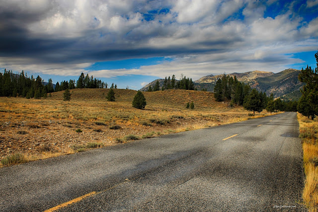
Roads: All good. Galena Pass (at the Salmon headwaters) has 7% grades, so use caution with RV's. The dirt roads to the headwaters and Pettit lake are gravel with some potholes, so anything but low-slung sports cars will do fine.
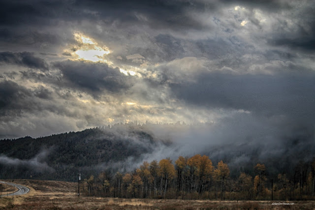
Weather: Don't hesitate to go in all but the worst weather! As you'll see below, clouds and rain can make your trip more beautiful.
Time: Allow about 4-6 hours from Galena Pass to Stanley to visit the lakes and enjoy the scenery. You can do this trip and the middle Salmon trip (coming soon) in one day.
Geology and Scenery of the Salmon River
The Wood River Valley is a good place to start. It is home to Sun Valley, Ketchum, and Hailey. You may want to take some time to wander and admire the world-class architecture of homes there, especially from Sun Valley northward.Rain and clouds can actually make your trip more scenic! The Wood River follows a normal fault that created the valley just a few million years ago. Not a lot is known about it, but it's a northern finger of the Basin and Range Province that covers western Utah, all of Nevada, eastern California, and southern Idaho and Oregon. The region is extending westward, forming its characteristic basins (valleys or grabens) and ranges (called horsts).
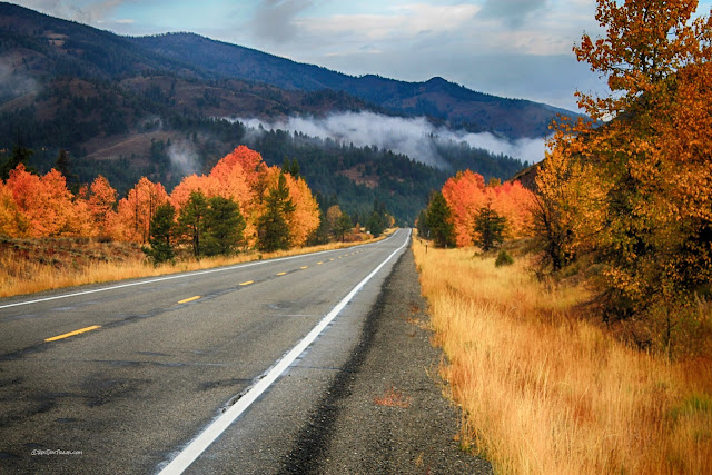
These pictures were taken about October first - the colors peak early here! There are a lot of campgrounds from Wood River to Stanley, not all of which require reservations. There are also informal sites with no water, but many have toilets.
View of the upper Wood River Valley from near Galena Summit. The summit is a major drainage divide between the Salmon River and Snake River drainages.
Stop at the view area on Galena Summit. From there, you can see the Salmon headwaters canyon and the stunning Sawtooth Mountains.
That's the Salmon River below the view area. It's pretty small here!
The view area provides this famous view of the Sawtooth Mountains. They are made of Cretaceous (about 150-80 million years) granite that formed above the subducting ancestor to the Pacific tectonic plate. The granite is the roots of a chain of volcanoes that extended from southern British Columbia to Mexico. Related granites are the Sierra Nevada mountains in California and granites of B.C. Beginning about 15 million years ago, the Sawtooths were uplifted along a normal fault just like the Teton, Wasatch, and Sierra Nevada mountain ranges. They were glaciated from about 2 million to 10,000 years ago, creating the deep U-shaped valleys and jagged peaks.
As you descend the pass, you'll get a good view up the Salmon River headwaters canyon. It's road 215, and it's good graded gravel. There is a normal fault up the middle of the canyon (that's why it's so straight) that puts 42 million year-old volcanic rocks on the east side and 80 million year old granite on the west side.
Looks like we found gold!
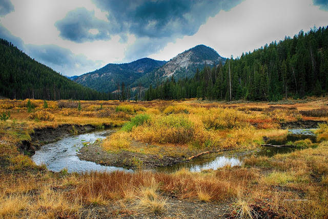
This is a good example of a meander loop. It's located at the Chemeketan campground. Because the valley is so flat, the stream doesn't feel a "pull" straight down gradient, so it meanders all across the valley. The outside of the loop erodes quickly (notice the eroded banks) because that's where the water is fastest, while sand and gravel are deposited on the inside of the loop (notice the gravel bar). Over time, loops like this migrate outwards, and sometimes cut each other off. It looks quite interesting in Google Maps.
Next stop: Alturas Lake. These lumpy hills are end moraines of the Alturas glacier that receded about 12,000 years ago. You can identify moraines by their unusual rounded, lumpy shapes and gravel that includes boulders of all sizes.
Alturas Lake has this nice sand bar at its west end. The lake is closed in by moraines on three sides. In the long term, glaciers come and go. Glaciers were at their maximums at 140k years ago, and at 60k, 33k, 19-22k, 17k, 14k, and 12k years ago. In-between were warmer periods (some as warm as today) during which the glaciers retreated.
The bedrock of the Sawtooth Mountains is granite that is related to the Sierra Nevada granites at Yosemite and Sequoia National Parks and Lake Tahoe - they formed at the same time, for the same reasons, and in the same way. They were all also glaciated during the last several ice ages. They were separated by Basin and Range crustal extension during the last 17 million years.
The road to Pettit Lake is gravel, and locally has some suspension-challenging potholes.
One of the spectacular features of the Sawtooth Mountains, once you know about it, is the glacial moraines. They are the forest-covered ridges in this picture that extend miles out into the valley. The Sawtooth Mountains provided a huge accumulation area for ice, sufficient to feed very long valley glaciers and push them far out into the valley. That's a tremendous amount of gravel carried out of the mountains! The moraines also enclose Alturas, Pettit, Yellow Belly, and Redfish Lakes.
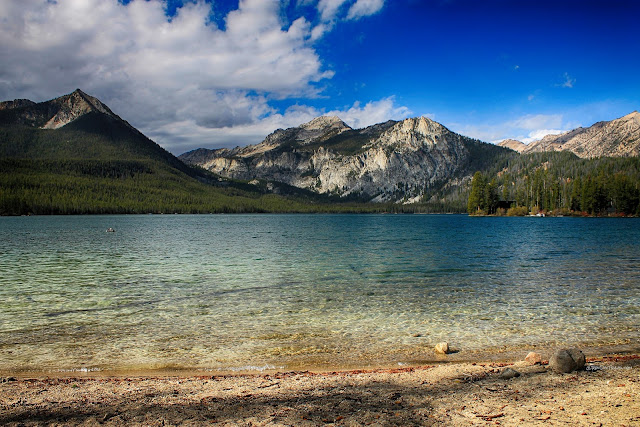
The mountains at Pettit Lake are some of the most spectacular. The sage-covered hills in this picture are glacial moraines.
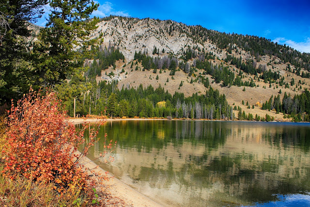
Like the other lakes, Pettit has amazingly clear water. The forested ridge on the left in this photo is a lateral moraine - huge piles of gravel carried like a conveyor belt on the sides of the glacier. The source of the gravel was the eroding mountainsides up in the canyons. The height of the lateral moraines is a little less than the former thickness of the glacier -- hundreds of feet above the lake!
Some of the Sawtooth's best and most popular trails are accessible from Pettit Lake. You won't believe the beauty of Alice Lake and Twin Lakes up in the canyons!
There are campgrounds along Pettit Lake, and a boat launch. You haven't wakeboarded until you've done it in this setting - ooh, baby!
This is a good look at the huge, long lateral and end moraines that extend miles out into Sawtooth Valley. Imagine the size of the glaciers that carried all that gravel!
Take your time and wander - don't hurry through Sawtooth Valley. Find the delicious little spots.
Redfish is the largest of the lakes, and has the most facilities like campgrounds, boat rentals, a big boat launch, lodge, and visitor center. It's also drop-dead gorgeous!
The peaks above Redfish Lake are all granite. Heyburn Mountain on the right is 10,229 feet (3139 m), and Grand Mogul on the left is no slouch at 9733 feet (2967 m). The forested ridge on the right is a huge lateral moraine! An extensive network of hiking trails is accessible from the canyon above the lake.
Normally I would think of rain showers as a bad thing, but not when they give me photos like this!
There's not a bad or even average view at Redfish Lake! You won't know where to point your camera.
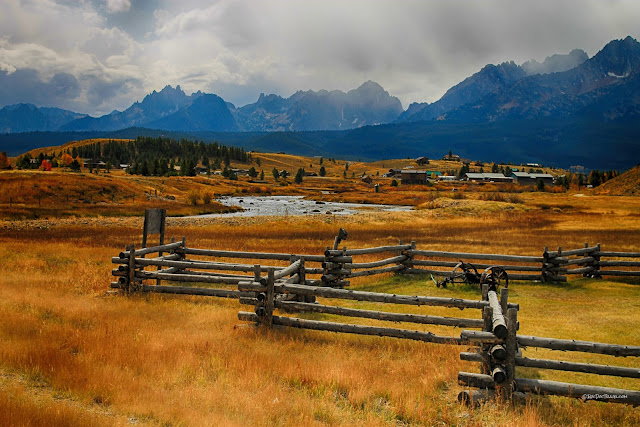
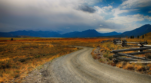
After it has picked up the streams from Alturas, Pettit, and Redfish Lakes, the Salmon can finally be called a river! Near Stanley are the iconic rail fences on the working ranches.
This view across Stanley is from the Stanley Museum. The creek is Valley Creek, biggest tributary to the Salmon in this area. It offers a great view of the ice-carved peaks and the long ridges of glacial moraines.
The Stanley Museum is housed in an old forest ranger station, and features the cultural and natural history of central Idaho. Stanley is famous for having some of the coldest temperatures in the lower 48 states. -40 Fahrenheit (also -40 C) is not uncommon.
You can find several lodges and guest ranches in and around Stanley. In fact, they're all along the entire Salmon River! This one is as photogenic as any.
As you follow the river downstream into its first canyon, you'll want to turn back for one last look at the Sawtooth mountains and valley.
The river exits the Sawtooth Valley by entering a canyon through the mountains. Weird! Shouldn't a river follow an easier way out, through lower ground perhaps? Not the Salmon - it crosses even higher mountains! The course of the Salmon River is a string of captured streams - old river channels that formed long ago when the landscape was different. This canyon, for example, likely existed before the Sawtooth Valley formed, and the Salmon adopted it.
Coming soon: Middle Salmon River, Lower Salmon River
Related Post: Salmon River in Early Spring
